
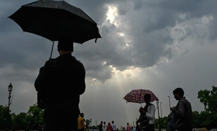
Residents across Uttar Pradesh are set to receive much-needed relief from the intense heat and humidity that persisted over recent days. The India Meteorological Department (IMD) has forecast a sudden shift in the state’s weather patterns, with intermittent downpours and scattered drizzles expected across multiple regions for the next two days, beginning Tuesday. Crucially, authorities have issued an alert for 44 districts, warning of thunderstorms accompanied by intense lightning strikes and advising residents to take necessary precautions.
Moisture Influx and Shifting Monsoon Trough
According to Atul Kumar Singh, Senior Scientist at the Regional Meteorological Centre in Lucknow, this meteorological transition is primarily driven by moisture influx from the Arabian Sea and the northward movement of the monsoon trough line. This dynamic will significantly increase cloud activity across the Terai, central (Madhyanchal), and southern districts over the next 48 hours. On Monday, light to moderate drizzles were already recorded in parts of Bundelkhand and Purvanchal—including Ballia, Gorakhpur, Banda, Jhansi, Orai, and Bareilly—even as sunshine dominated other parts of the state.
Forecast for Lucknow and Impending Monsoon Withdrawal
The state capital, Lucknow, has already begun experiencing overcast skies. Due to Arabian Sea moisture currents, the city is likely to see light showers or drizzles on Tuesday and Wednesday, bringing down the mercury. On Monday, Lucknow recorded a maximum temperature of 33.9°C and a minimum of 26.5°C.
However, the weather department noted that this spell of precipitation will be short-lived. From September 19 onward, weather conditions across Western Uttar Pradesh are expected to turn predominantly dry—a key indicator signaling the formal commencement of the southwest monsoon’s withdrawal from West Rajasthan. To date, Uttar Pradesh has recorded rainfall approximately 3% below normal for the ongoing monsoon season.